Trail Litica
The trail starts at the Vanište mountain hut, at an elevation of 300 meters above sea level, and ends below the grassy peak of Zebra, in the Uhnja area, at 748 meters above sea level, above the village of Drivenik.
The trail is 29 km long and follows steep rocky cliffs above the Vinodol Valley, forming a step-like formation with smaller flat sections leading towards the Kapela mountain massif. Initially, the trail passes along the slopes of the first coastal ridge above Klenovica and Povile, then ascends beyond the village of Zagon, following steep cliffs above Vinodol. The path varies – from rocky terrain to shaded coastal maquis, mountain meadows, and frequent changes of scenery, making the hike diverse and interesting.
Highlights along the way include the Gradina peak (379 m), the Kamenog križa viewpoint, the Kacalj viewpoint (511 m), the Klamaruša viewpoint with its summit rock (570 m) offering stunning views of Vinodol and Crikvenica, the Slipica viewpoint, the Pridvu viewpoint, the Njivine and Zebra mountain meadows, and the Kozak rocky massif (669 m).
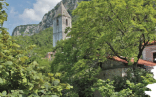
Be sure to visit the Ledenice fortress, which evolved from a Roman fort into a Frankopan castle and remained part of the defensive line against the Ottomans until the end of the 17th century.